 | ||||||
Austin to Lake Patzcuaro
The Michoacan Net
An official Yahoo Group
for updates on Matehuala!
AUSTIN TO LAKE PATZCUARO
This has been sent to and from friends, with more things added and updated. This itinerary starts in Austin. I like to stop every two hours for gas, banos, check my email and stretch my legs.
Leaving Austin on Interstate 35 heading south:
Exit 220 on I 35 as an H E B grocery store and a Cabela's.
Exit 191 north of San Antonio, has the famous Buc-ee’s, with cheapest gas and good food.
Exit 172 in San Antonio is a giant Spec's liquor store and Office Depot.
Drive directly through the middle of San Antonio on Interstate 35 and don't take the loop around city.
Stop #1 -- About 2 hours from Austin to exit #131, our favorite rest stop/gas on IH35.
Stop at the second Benson City, which has an HEB with gas, and McDonald's. HEB is a major grocery store and a great place for last minute supplies. Restrooms in front of HEB, to the left.
(If you are on Interstate 10 from Houston, exit #131 is about 10 miles after you turn south on IH35.)
Stop #1a -- Public rest area with toilets is exit #130.
At mile sign #118, speed limit goes to 75 mph, until Laredo.
Stop #2 -- Follow IH35 south through Texas. It's flat and boring, with plenty of gas stations. If you are crossing at Columbia Bridge Crossing, stop in Cotulla, TX, about an hour north of Laredo at exit #67. At this exit, the Chevron and Exxon have fast food restaurants and restrooms. There is a great Country Store Restaurant at this exit. If using Nuevo Laredo, stop at Truck stop before Laredo.
At exit #39, Encinal, is a big Love’s travel center. It’s busy and understaffed, with pumps often not working.
Exit #24 for the Colombia Bridge and follow toll road to bridge. If you don't have the Texas tollway tag, they will send you a bill. This is an easy crossing. Stop on Mexico side for auto and tourist permits.
OR, Follow Interstate 35 to Bridge #2, the Nuevo Laredo crossing. After bridge, turn left and wait for red light/green light. Stop at first cambio of left for pesos or continue to end of road, turn right and make U-turn for auto and tourist permits.
When papers are completed, return to that road and follow signs to Monterrey. The first half hour after the bridge, just stick with the speed limits. See Nuevo Laredo Map.
Stop #3 -- Follow signs to Monterrey and catch Cuota at 157k.
At K99 from N. Laredo is El Rancho Parador, a great place for a break, either direction. There is a Pemex and Garcia Restaurant for great buffet. Check out the clean, free restaurants. There is also an ATM and espresso, coffee shop, XOXO, Subway sandwiches and Church’s fried chicken, both with free WiFi.
New Hotel 10 miles north of San Pedro rest area is called Los Dos Lunas, right off the road easy access, good restaurant. Phone number is 826-1289341.
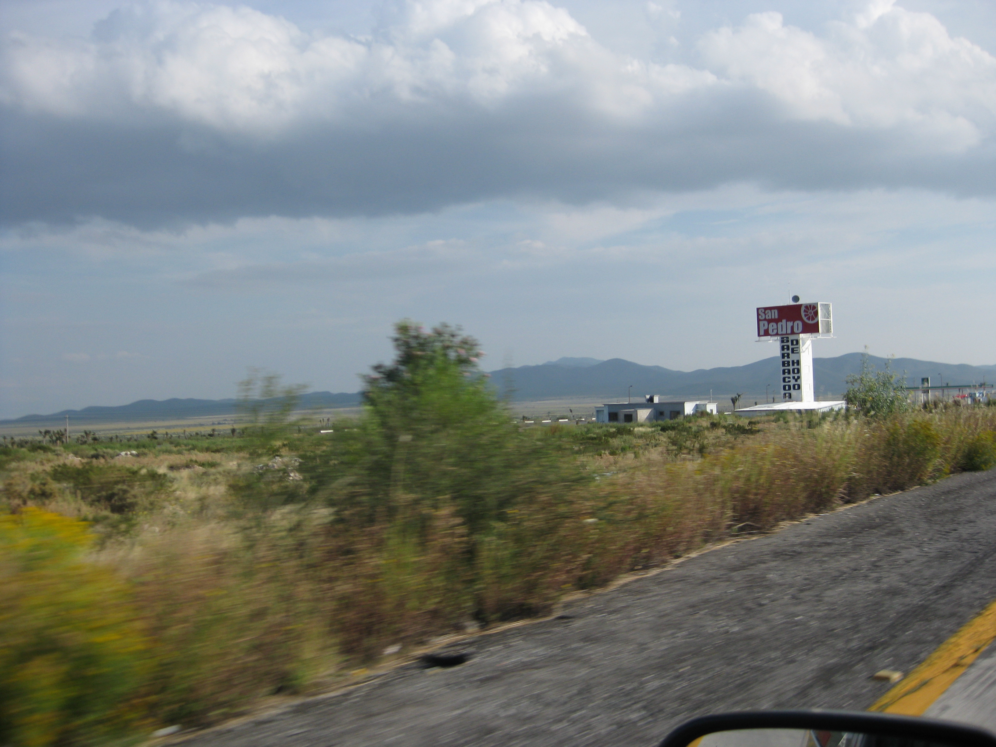
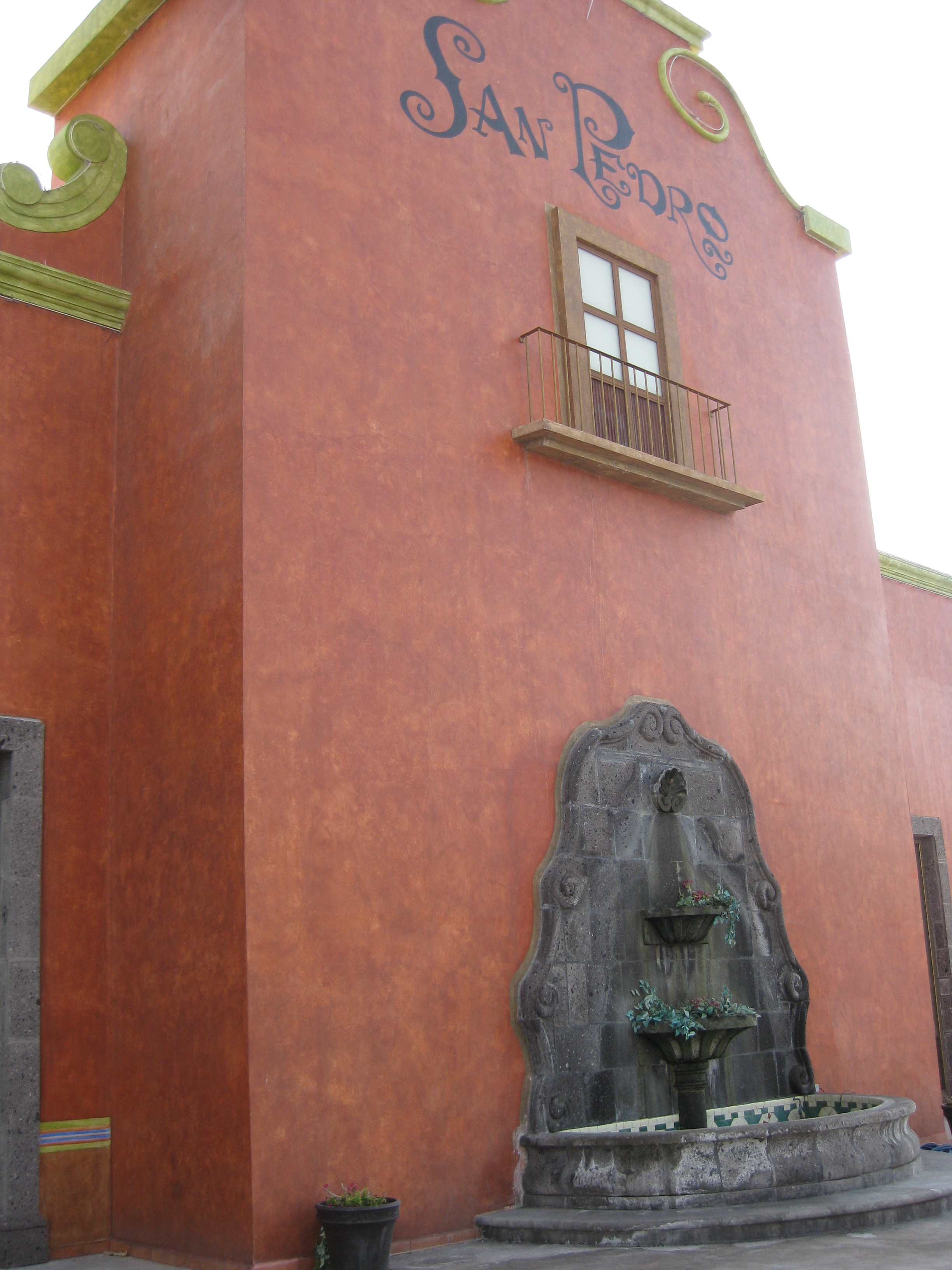
Stop #4 -- About 2 hours, exit at K108 to the San Pedro Parador Rest Stop, on the left in the center of the freeway. There is a souvenir store with snacks and drinks, an ice cream stand and buffet restaurant. Toilets are 2 or 3 pesos in the Parador, but free in the Pemex. Get gas. There is now a new hotel at San Pedro rest area.
Chichimeca no longer live in this area. They have been referred as "barbarian" or "dog people."
100%
Sponsor
Free
Monterrey
As you enter Monterrey, on the right is another Garcia Restaurant and Pemex with the same great services. Get gasoline here.
Notice the big City Express Hotel across from the airport. It’s not cheap, but new and convenient.
Continue towards Monterrey and turn right before over-pass, at sign "SALTILLO Cuota." A good landmark for the exit is a small airport that you pass on your right before the Saltillo exit.
Follow signs to Saltillo Cuota.
In about 30 miles, past the huge cement factory and towers, as you start to enter Saltillo, at a corkscrew to the right, don't miss the quick, right exit to "Matehuala libre."
The MATEHUALA cuota begins further down the road.
From the north side, if you drive into Saltillo is a very good motel called The American Express Hotel (formally Holiday Inn). It has a restaurant and is animal friendly. To get to it, instead of turning to the south to pick the Cuota, keep going straight on Hwy 40 toward Saltillo. Motel will be on the right.
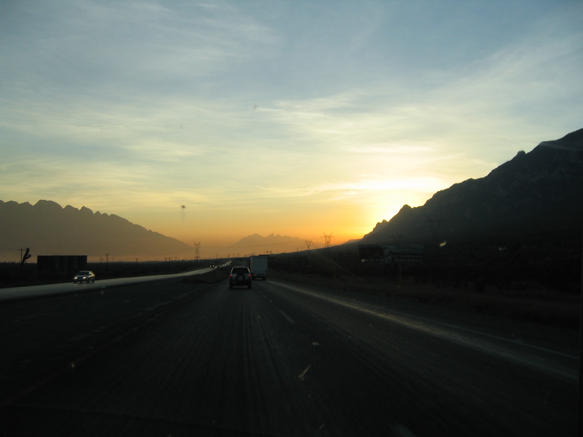
Follow signs to San Luis Potosi. This is probably the most challenging driving of the trip--hills, curves, etc.
Matehuala, about 572 miles from Austin, is a great place to stop for the night. Stay cheap at Capri, past second Pemex on right, or at the Palms, not cheap, a mile further on left. Great food at the Palms.
Follow signs for San Luis Potosi Cuota. This is the longest leg but most of it is straight and you can make time. Do not take the libre into SLP, but the cuota around it.
Stop #5 -- About 2 3/4 hours to El Potosino Parador with free WiFi, Subway, Church’s, hamburger stand and tacos. El Potosino is on the left just before the last toll gate.
For some reason, the Pemex is always jammed at this site.
Good banos and wifi at no charge. Excellent espresso.
If going to San Miguel, it's about 2 hours to San Miguel (There are several routes.)
At K87 is route #110 to Dolores Hidalgo and SMA, called the northern route.
At K 62 is route #1, the main route to SMA.
At K29 is the southern route,#111 to SMA and the Queretaro bypass to Mexico City. Do not go towards Mex City. Follow signs to San Miguel.
If you are continuing further, GET GAS ON THIS HIWAY.
At exit 42, at MAXI gas and Subway is gas and free wifi at Subway, password 9876543210
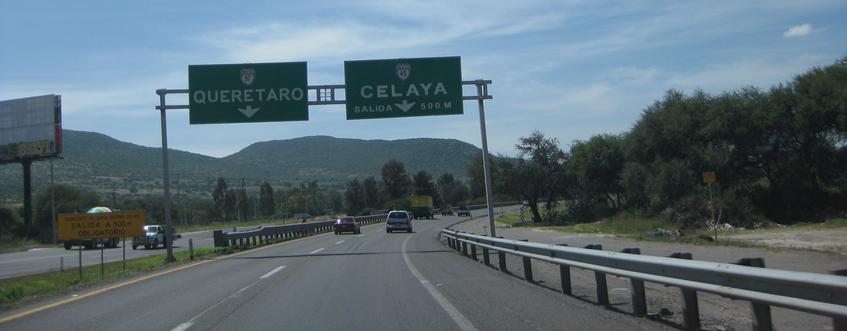
NEXT, Head west At k22, exit at route #45, marked CELAYA and follow signs to Celaya. Watch for major speed bumps. Exit at IRAPUATO Cuota, pay toll and head west.
You are now on the MORELIA / IXTAPA Cuota, route #43, so drive south. At second toll booth, where the Celaya libre joins, get ticket and pay later.
After crossing Lake Cuitzio is the major, Guadalajara / Mexico City Cuota and connections to the new Morelia bypass. (see Leg #8b)
LEG #8a -- To Morelia
Go south and follow signs to Morelia
As you approach Morelia, at Periferico, turn right at sign for Patzcuaro and continue around the Periferico for about 30 miles to Patzcuaro exit.
If you want the new cuota to Patzcuaro, exit at Quiroga, which connects to new road.
Or, past the Quiroga exit, turn right at the hidden sign, behind a tree, on top right, for Patzcuaro. If you see Mega and Costco, you have gone too far. The 30 miles has about half a dozen rest area/Pemex and a great seafood restaurant, La Guera’s about 10 miles before Patzcuaro. Turn LEFT into town and straight ahead for Patzcuaro, or right to signs to Eronga.
LEG #8b Patzcuaro / Cuitzio Cuota - Morelia bypass
On the Mexico City / Guadalajara Cuota, about 5 miles west of the Cuitzio/Morelia libre, is the Cuitzio/Morelia/Patzcuaro Cuota. It is well marked coming from either direction.
About halfway is the Capula / Morelia exit to Quiroga and Lake Patzcuaro.
Exit at Patzcuaro to right and follow signs into town.
This cuota continues past Patzcuaro to Uruapan & 37D to the coast and Lázaro Cárdenas.
LEG #8c – (ANOTHER WAY TO GO) The route to bypass Morelia and arrive at Lake Patzcuaro is a very scenic, high mountain, 2-lane blacktop, with many potholes. This route can be rough anytime, especially in rainy season.
As you leave Lake Cuitizo, turn right on the Guadalajara cuota, from Mexico City, just past the Morelia exit and continue west. After about 30 miles, exit at Huaniqueo / Coeneo and drive south. In Coeneo, drive straight through the circle. After about 20 miles, turn right on highway #15 toward Zacapu. (Turn left for Quiroga.) Past town in about 3 miles, turn left at the sign marked Erongaricuaro. Drive through Zinziro and Yototiro and over the mountains to an incredible view of Lake Patzcuaro.
Welcome to Eronga! Turn right to go to Patzcuaro or left to go to Quiroga.